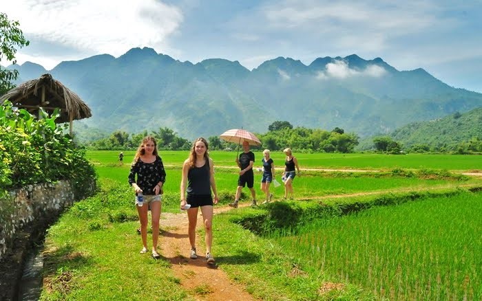
Vietnam hiking trails — Top 5 beautiful trails for hiking and trekking in Vietnam

Not only does walking down the lovely paths below bring a great experience to life, but it also allows you to test your will and persistence. Let’s explore Vietnam hiking routes, starting with the top 5 most beautiful paths for hiking and trekking in Vietnam.
Ta Nang – Phan Dung
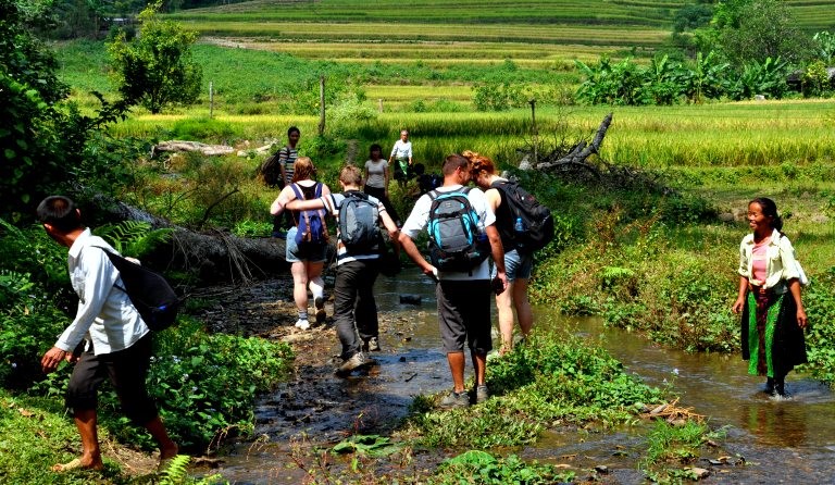
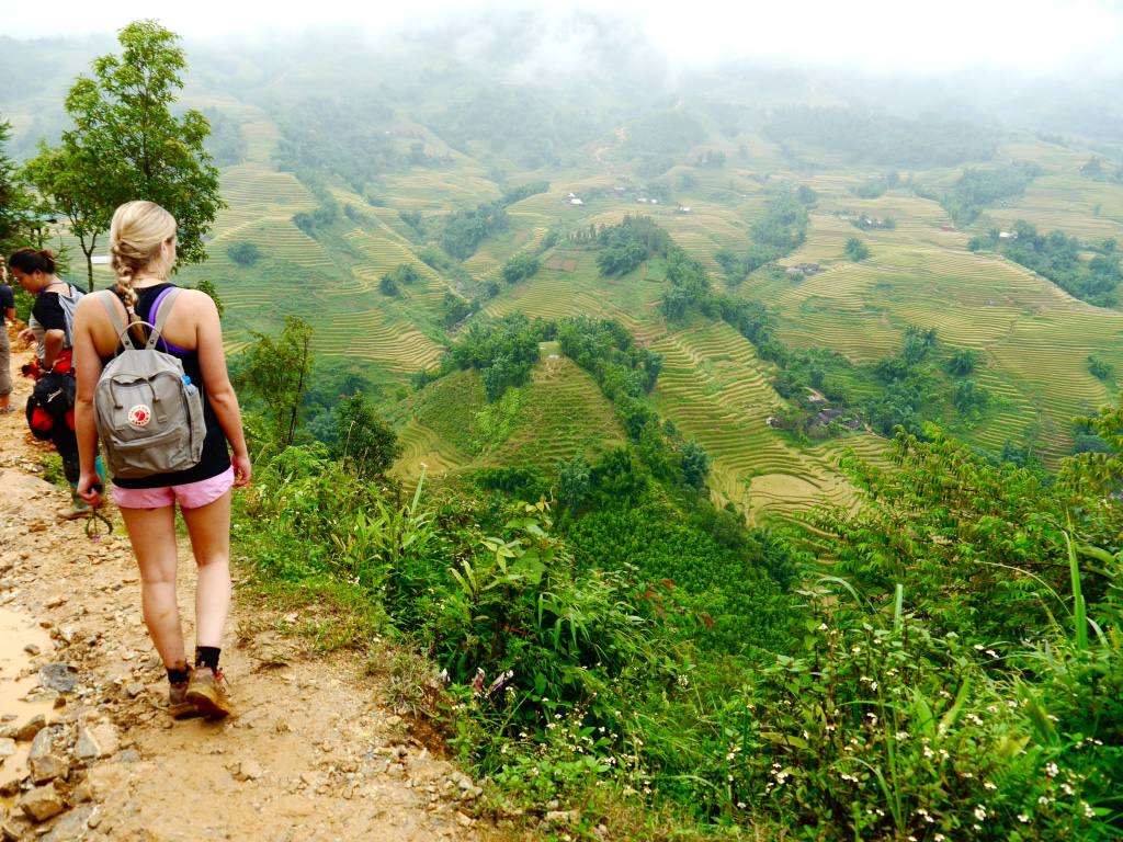
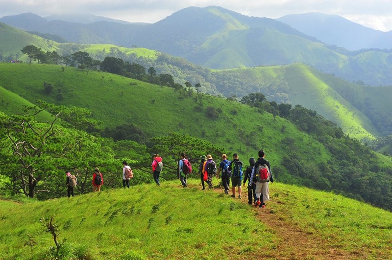
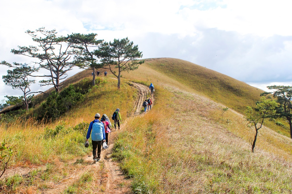
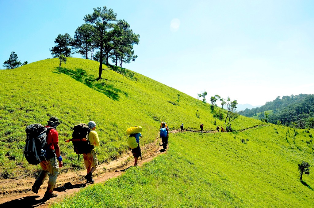
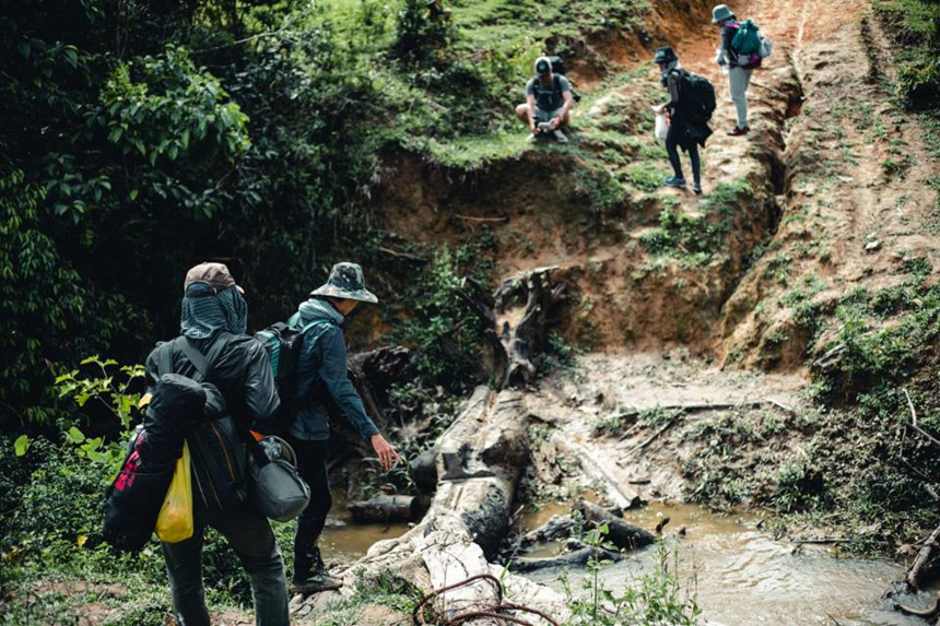
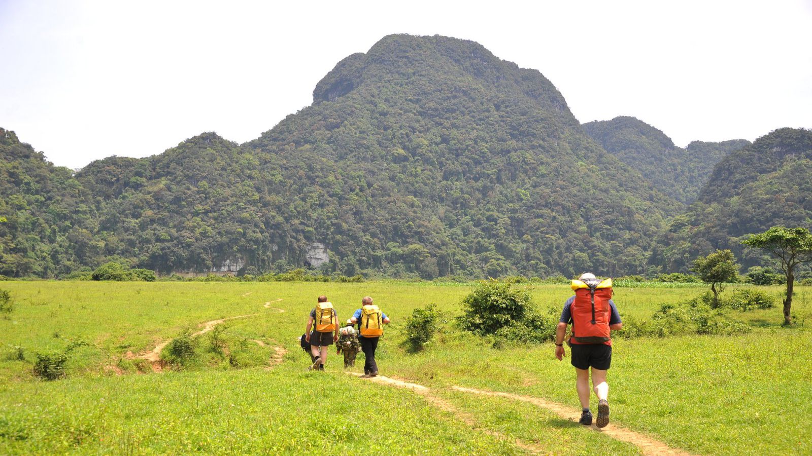
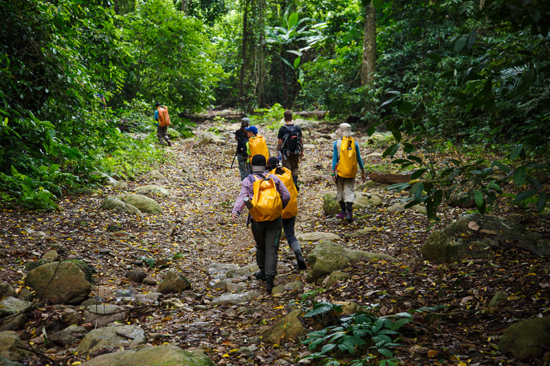
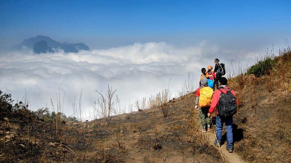
Ta Nang – Phan Dung is considered the most scenic trekking path in Vietnam, passing through three provinces: Lam Dong, Ninh Thuan, and Binh Thuan. This is a transitional area between the plateau and the central coast. The road’s overall length is 55 kilometers, which includes woodland ice, climbing a pass, and crossing a creek. We must descend from 1,100m to 500m above sea level. You will begin this adventure at the Ta Nang Commune, Duc Trong District, Lam Dong Province, about 60 kilometers south of Da Lat. This journey will take you to Phan Dung, Tuy Phong District, Binh Thuan Province.
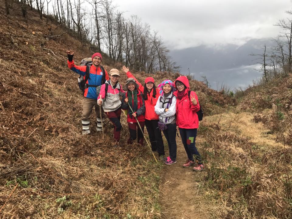
This trip necessitates not just physical strength but also the ability to sustain one’s will and soul. Traveling in the jungle for at least three days with enough insects and reptiles without food, water, or phone service will require you to know how to protect yourself as well as have a strong team spirit.
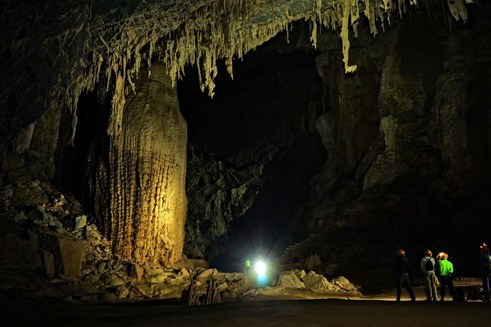
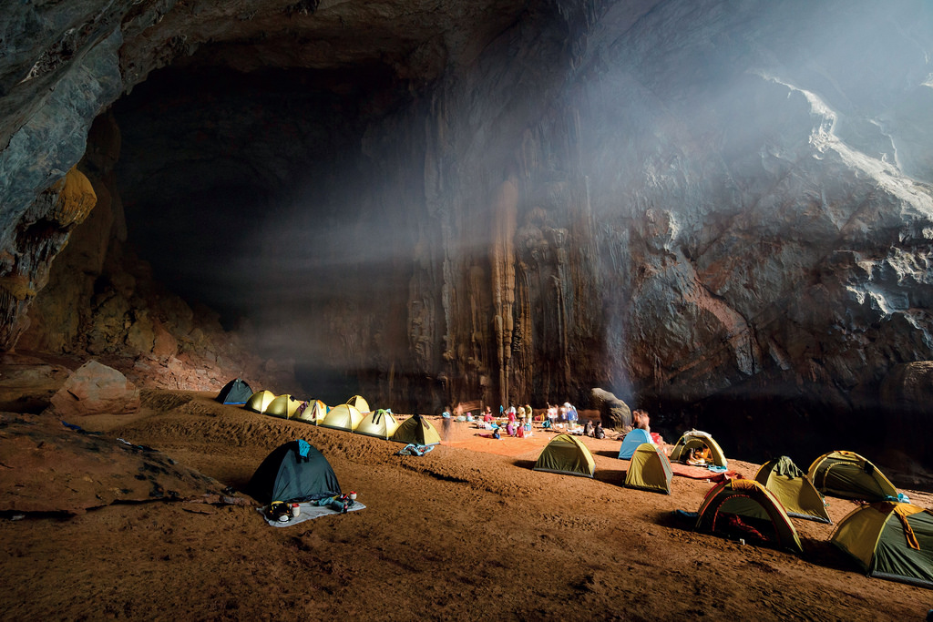
En Cave, Quang Binh
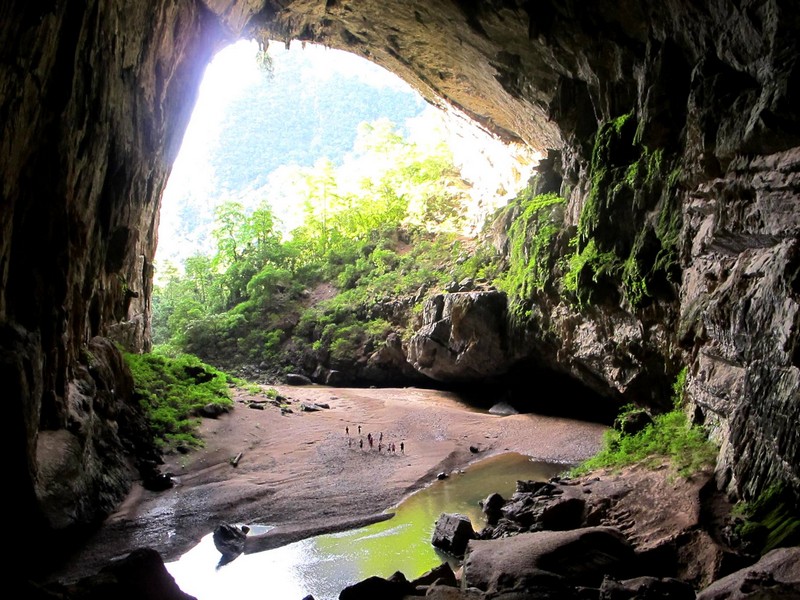
En Cave is the third largest cave in the world with its rich and unique ecosystem. En Cave stretches over 2km through giant limestone blocks in the core zone of Phong Nha – Ke Bang National Park in Quang Binh Province. The trekking tourists, who have not registered for Son Doong tour yet, can choose this place to conquer.
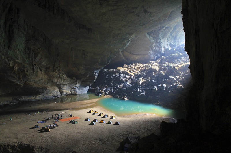
From Dong Hoi city, you have to follow the Ho Chi Minh road west to 35 km. The distance from km 35 to En Cave is about 8 km. The road has many sloping sections, passing through Rao Thuong stream, Doan village, a small version of Van Kieu people. Going deep into the cave, once again you can admire the stream of flowing Mao Thuong S-shaped stream. The more you go inside, the more you will be observed the stalactites of various shapes, Swifts and even fossils dating back over 300 million years.
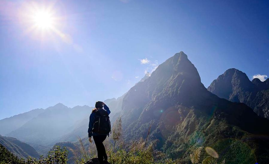
Ta Lien Son, Lai Chau
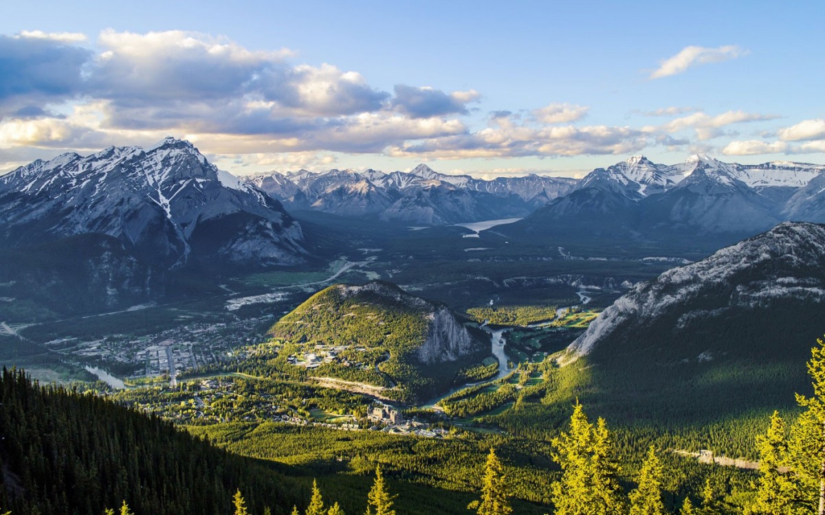
Ta Lien Son, also known as Co Trau, is the tallest peak in Ta Leng Commune, Tam Duong District, Lai Chau Province. Ta Leng is a tough hilly commune in Tam Duong District, despite being just around 10 kilometers from Lai Chau Province’s center. Ta Lien Son Mountain rises 2,993 meters above sea level and features a beautiful highland panorama and primeval forest flora.

Ta Lien pinnacle requires at least three days and two nights to climb. The trip to Ta Lien Son is difficult. Sometimes you’re in the gap at the edge, while other times you have to cut through the dense forest. When you get deeper into the depths, the road becomes smaller and more sloped. The crowds of old trees, lush white tea leaves, scarlet maple leaf, or green carpet beautiful and magnificent splendor on top of Ta Lien, on the other hand, will be a lovely present that will make up for the troubles that you have gone through. From the summit of Ta Lien, you can view the lovely city of Lai Chau nestled amid the gorgeous mountains.

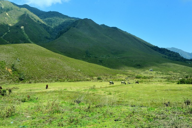
Lao Than Mountain, Lao Cai
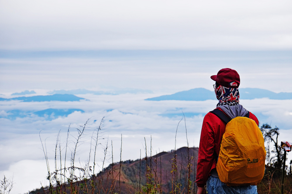
Lao Than Mountain, at a height of 2,826 meters, is said to be the abode of Y Ty, who lives in Phin Ho Commune, Bat Xat District, Lao Cai Province. When it comes to the point of a steep mountain that soars into the sky, the most popular word used by locals is Lao Than. This is an excellent location for two days and nights of trekking and cloud-hunting.
The climbing terrain is described as not too difficult, with a resting place reached in 5 to 6 hours. It will take around an hour to reach the summit. However, due to the path to the summit being covered in bushes and thorns, the wind is quite strong and the temperature is hot again, so you will have a difficult time reaching the top. Because this is a beautiful location, you must prepare your stuff, including sleeping bags, tents, cooking equipment, and water.

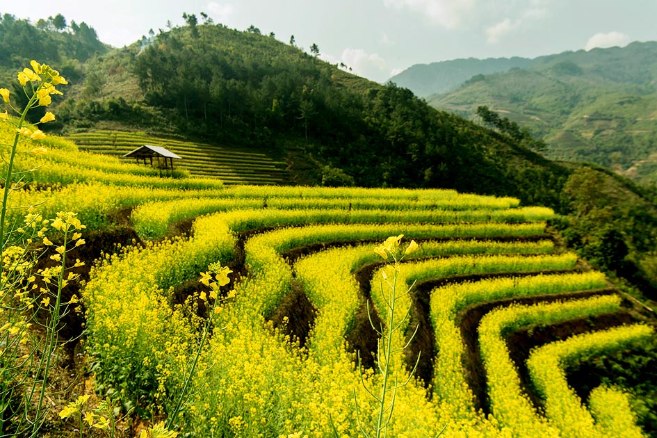
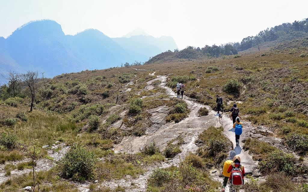
Lung Cung, Mu Cang Chai, Yen Bai
Lung Cung Mountain is named after a hamlet in Nam Co Commune, Mu Cang Chai District, Yen Bai’s hardest mountain. Climbing Lung Cung takes around two days and a night in the woods to get to the summit and back down. You can ascend in three directions: Thao Chua Chai, Lung Cung, and Tuan San. The tour will take you through a primeval forest with stunning landscape, where you will see unusual plants such as crimson maple leaves.
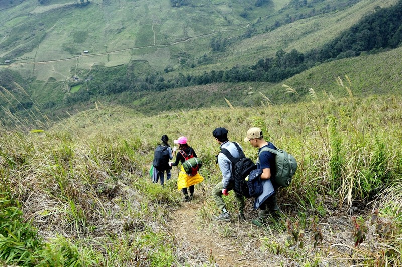
Lung Cung mountain is 2,913m in height which is always covered with clouds. In the beautiful days, we can stand here to zoom out to Che Co Nha, Khau Phe commune, and the surrounding area.