Cam Ranh Bay- Nha Trang
Cam Ranh Bay Nha Trang – a beautiful bay and a deep seaport located in the long flowing Cam Ranh city and Cam Lam district, Khanh Hoa province, Vietnam, with an area of 60km2 Gulf, average depth from 18-20M.
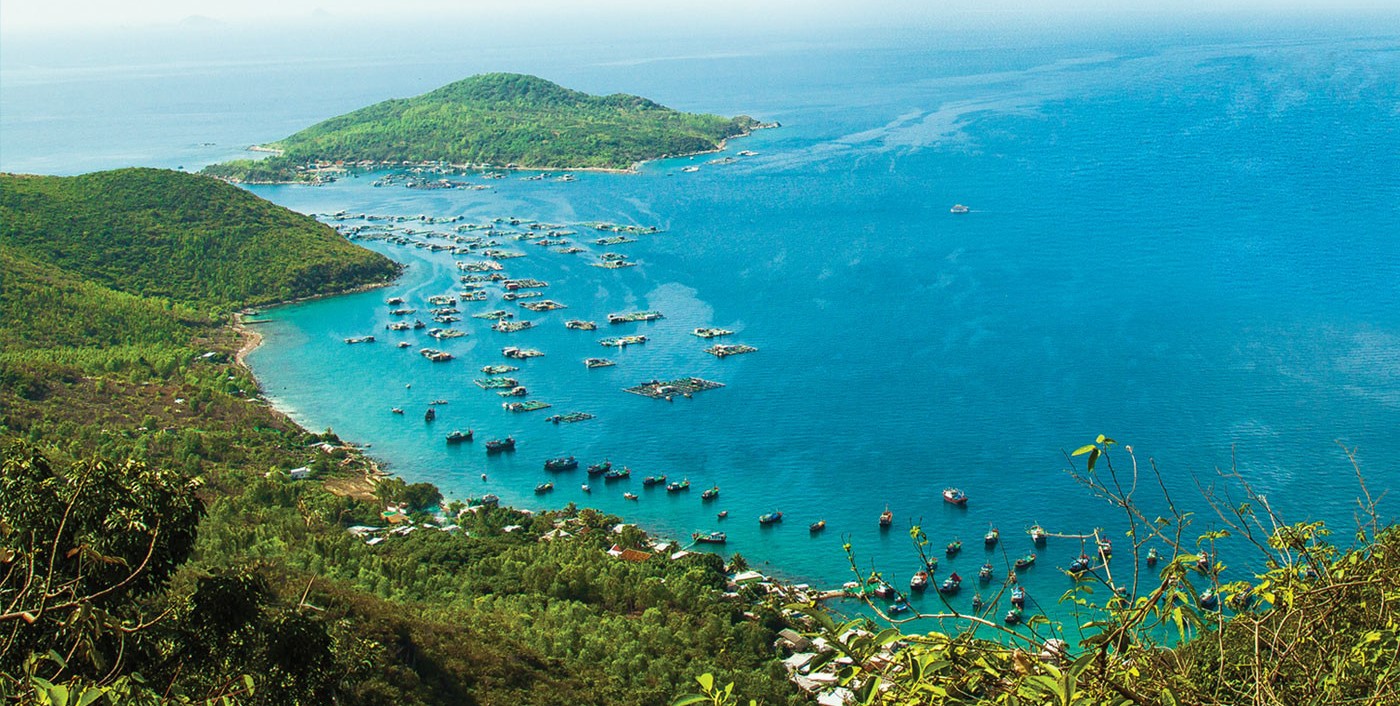
Cam Ranh Bay was formerly known as a military base because it was considered as the defense post of the Pacific. This place is the regional international traffic hub which has a special position for security and defense.
Cam Ranh Bay is the shoreline connecting the Truong Sa island and Hoang Sa of Vietnam. Cam Ranh is considered as the world’s best natural deep-water bay which is beautiful and calm. Since 2004, Cam Ranh has started to develop rapidly in all aspects because the presence of Cam Ranh airport. Previously, from Nha Trang, if we wanted to go to Cam Ranh, we had to follow Highway 1 through Dien Khanh, but now there is Nguyen Tat Thanh street located along the coast connecting the center of Nha Trang with Cam Ranh. If visitors want to come to Cam Ranh, they can use road, waterway, air or railway. Therefore, Cam Ranh Bay is an extremely convenient destination.
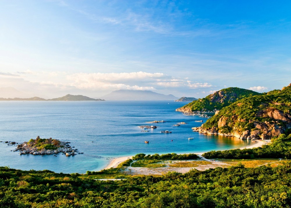
The first impression when coming to Cam Ranh is the sunshine. The hot sun brings the salty taste of the sea, the land, and the embracing sand. What a very strange feeling! But that weirdness makes an unforgettable difference.
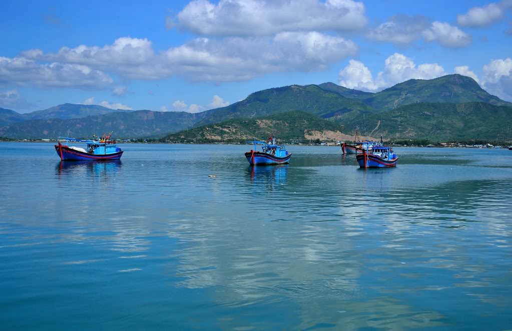
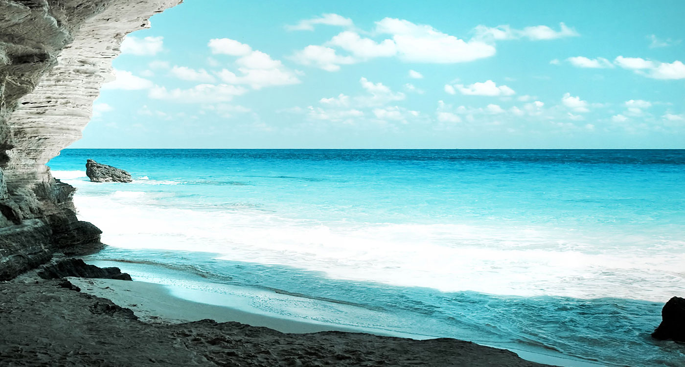
The beautiful scenery of this destination is the harmony of mountains and sea. Topography Cam Ranh has 4 mountains in four sides including 04 mascots Long – Lan – Quy – Phung. They are Hon Lan (west), Hon Rong (north), Hon Quy (south) and Hon Phung (east). Cam Ranh Bay is divided into many separate, independent beaches with many different designs and sizes. The depth is not short, clear blue sea, smooth waves, white sand, hard sand background. These are Can beach, Tau Be beach, Ngang beach, Xich beach, Ong Dung beach, Lech beach, Con beach on Mui Hoi peninsula, Bo De beach, Sau beach, Nha Ngang beach, Ngoc Suong beach, etc.
